What is LiDAR and how can it help you in photovoltaics?
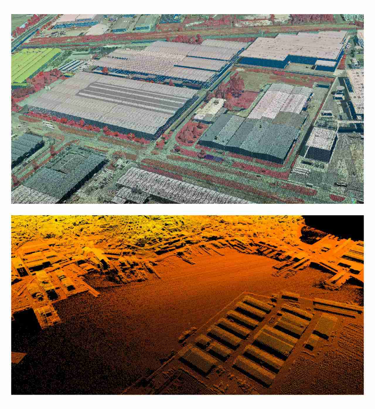
🏙️ LiDAR is a technology that uses laser pulses to create detailed three-dimensional maps of the terrain, generating what is known as a point cloud. This point cloud represents the precise location of objects and their surroundings in three-dimensional space.
Currently there are state projects, like the PNOA-LiDAR in Spain or the LiDAR HD in France, that provide access to these data for the entire territory.
🌞 But how is this related to photovoltaic energy?
💡 From the LiDAR point cloud at the project location, you can obtain the exact tilts, orientations, and heights of rooftops, as well as the characteristics of nearby obstacles.
🚀 With this detailed data, you can design photovoltaic systems accurately, remotely, and efficiently, automating the manual process of designing the 3D scene.